Services
It's Time to Start Your Adventures
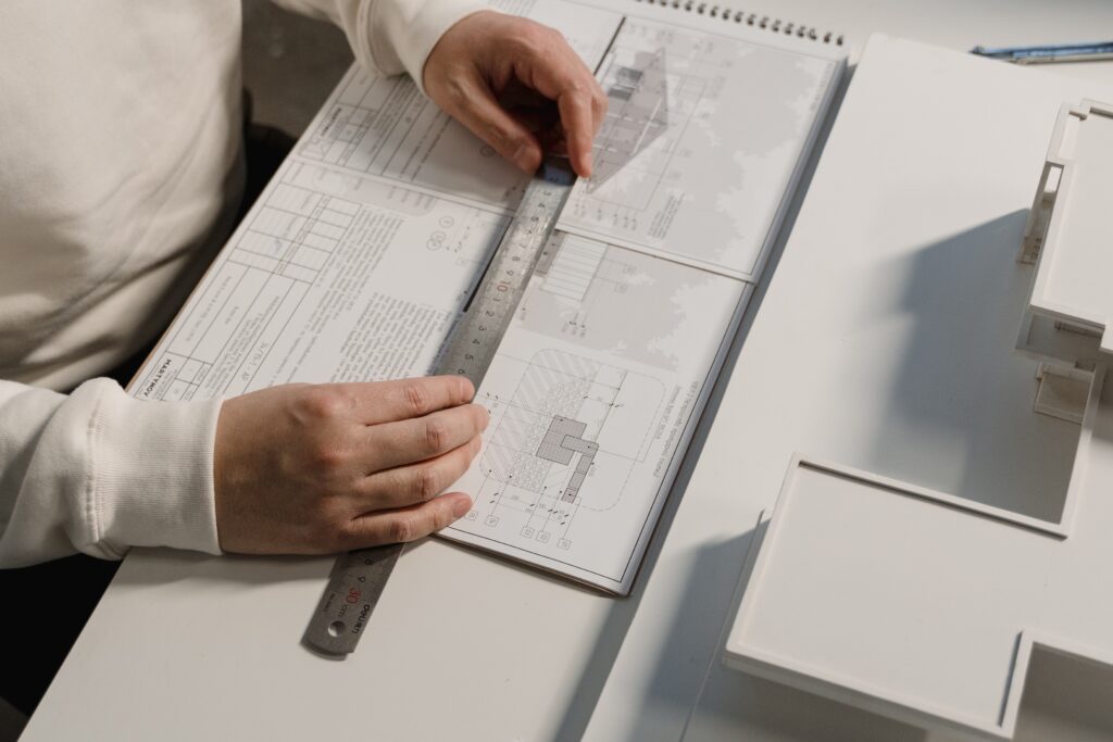
Concept Design
In the initial stages of design we meet with the clients, assemble our team for the project and visit our site. The early planning stages of any project are critical to the success of the project and we treat them with as much importance as any other phase of the project.
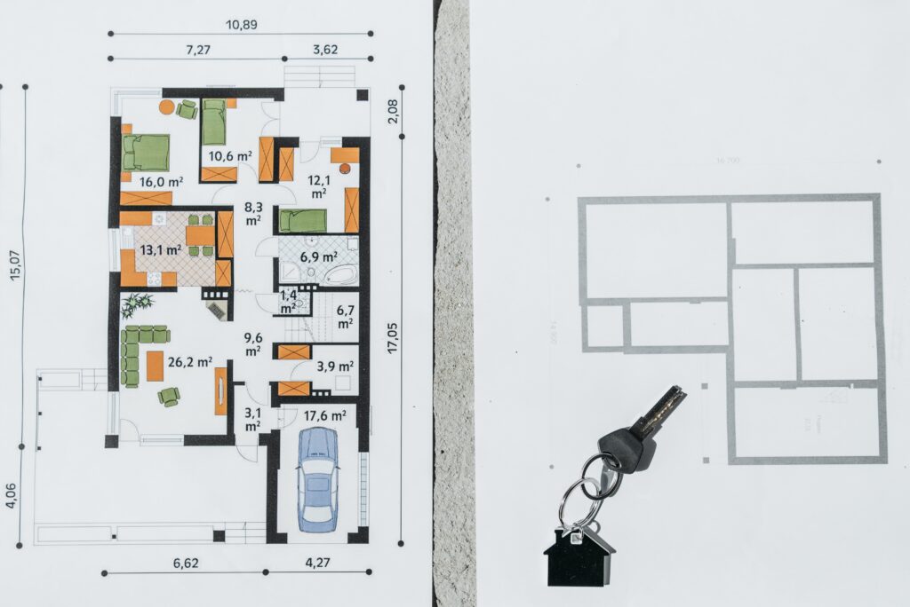
Schematic Design
This stage is where we begin to produce architectural drawings for a project. We meet with the client on numerous occasions for approvals and changes, while simultaneously coordinating with the engineers on the project.
Design Development
By refining our designs with our clients, we are able to produce the best and most successful projects for our clients.

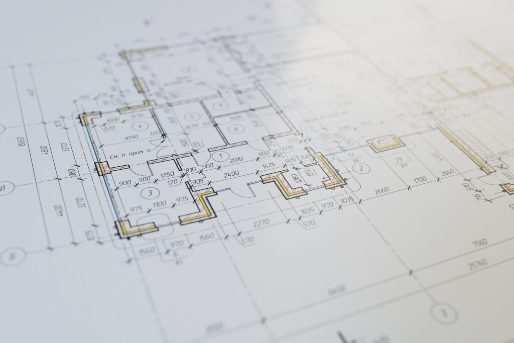
Construction Documents
This largely internal phase consist of the completion and coordination of all architectural and engineering drawings. A timely and integrated approach is as critical in the phase as it is throughout the project.
Why Line-DC
At Line-DC, we blend our expertise in planning, architecture, landscape architecture, engineering, and economics to create sustainable communities that connect people with places, movement with the static environment, and nature with architecture.
- Comprehensive Master Plans
- Downtown and Neighborhood Plans
- Landscape Architecture Design
- GIS Mapping
What You Get
These considerations play a key role in projects of all scales, including regional and community master plans, parks and recreation areas, and redevelopments. A broad range of design ability and internal resources to ensure the designs come to life.
- Parks and Recreation Master Plans
- Redevelopment Studies
- Strategic & urban Planning
- Land-Use + Zoning Plans
Line-DC GIS team
Can assist with the integration of GIS in a number of ways. Utilizing ESRI’s ArcGIS, the industry standard, GIS provides factual decision support on any project size or projects. Our staff can apply GIS best practices to virtually any project that requires the evaluation, analysis, and presentation of geographical data. From simple asset management databases to complex spatial web applications.
GIS SERVICES
- GIS Data Collection
- GIS Data Creation + Attribution
- GIS Project Scoping + Setup
- Enterprise GIS Management
- Spatial Analysis + Modeling